
File:Erdfunkstelle Raisting 2a.jpg
預覽大小:665 × 599 像素。 其他解析度:266 × 240 像素 | 533 × 480 像素 | 852 × 768 像素 | 1,136 × 1,024 像素 | 2,219 × 2,000 像素。
原始檔案 (2,219 × 2,000 像素,檔案大小:2.29 MB,MIME 類型:image/jpeg)
This is a reworked version by Waugsberg (color adjustment outside the upper white part of the antenna)
Other versions:
-
 Original

| 拍攝地點 | | 位於此地的本圖片與其他圖片: OpenStreetMap |
|---|
| 描述 |
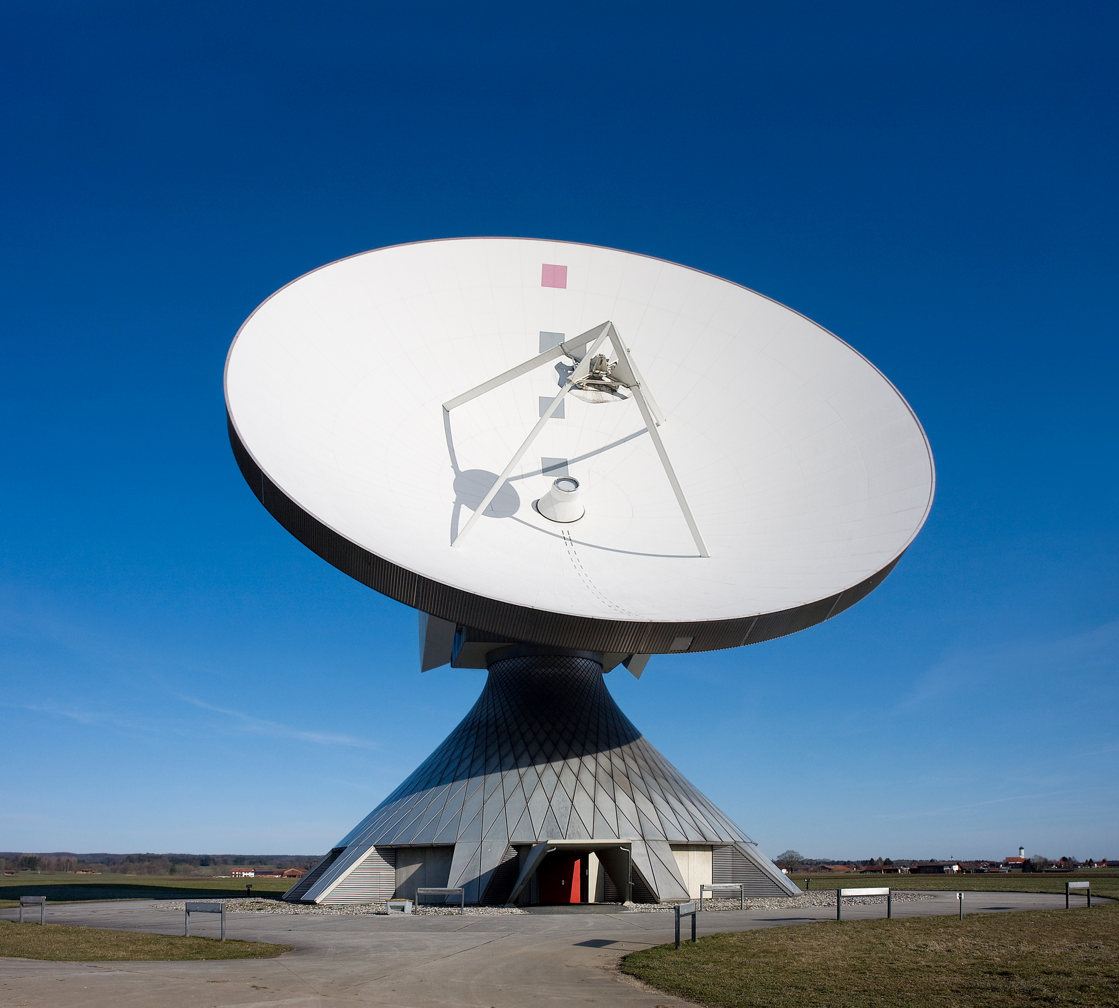
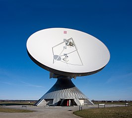
Deutsch: Die größte Erdfunkstelle der Welt bei Raisting (in der Nähe des Ammersees) ist eine Bodenstation für die Kommunikation mit Nachrichtensatelliten und ist mit ihren großen Parabolantennen weithin sichtbar.
English: The biggest facility for satellite communication in Raisting, Bavaria, Germany.
Français : Le plus gros centre de communication satellitaire à Raisting, en Bavière (Allemagne). |
| 日期 | |
| 來源 | 自己的作品 |
| 作者 |
Richard Bartz, Munich aka Makro Freak |
| 授權許可 (重用此檔案) |
此檔案採用創用CC 姓名標示-相同方式分享 2.5 通用版授權條款。
|
檔案歷史
點選日期/時間以檢視該時間的檔案版本。
| 日期/時間 | 縮圖 | 尺寸 | 用戶 | 備註 | |
|---|---|---|---|---|---|
| 目前 | 2008年4月3日 (四) 15:36 | | 2,219 × 2,000(2.29 MB) | Waugsberg | This is a reworked version by Waugsberg (color adjustment outside the upper white part of the antenna) '''Other versions:''' <gallery> Image:Erdfunkstelle Raisting 2.jpg|Original </gallery> {{Location|47|53|55|N|11|06|42|E}} {{Info |
檔案用途
下列2個頁面有用到此檔案:
全域檔案使用狀況
以下其他 wiki 使用了這個檔案:
- bn.wikipedia.org 的使用狀況
- de.wikipedia.org 的使用狀況
- en.wikipedia.org 的使用狀況
- en.wiktionary.org 的使用狀況
- frr.wikipedia.org 的使用狀況
- hi.wikipedia.org 的使用狀況
- hy.wikipedia.org 的使用狀況
- ja.wikipedia.org 的使用狀況
- lb.wikipedia.org 的使用狀況
- my.wikipedia.org 的使用狀況
- sw.wikipedia.org 的使用狀況
- te.wikipedia.org 的使用狀況
- vi.wikipedia.org 的使用狀況
- zh.wikipedia.org 的使用狀況